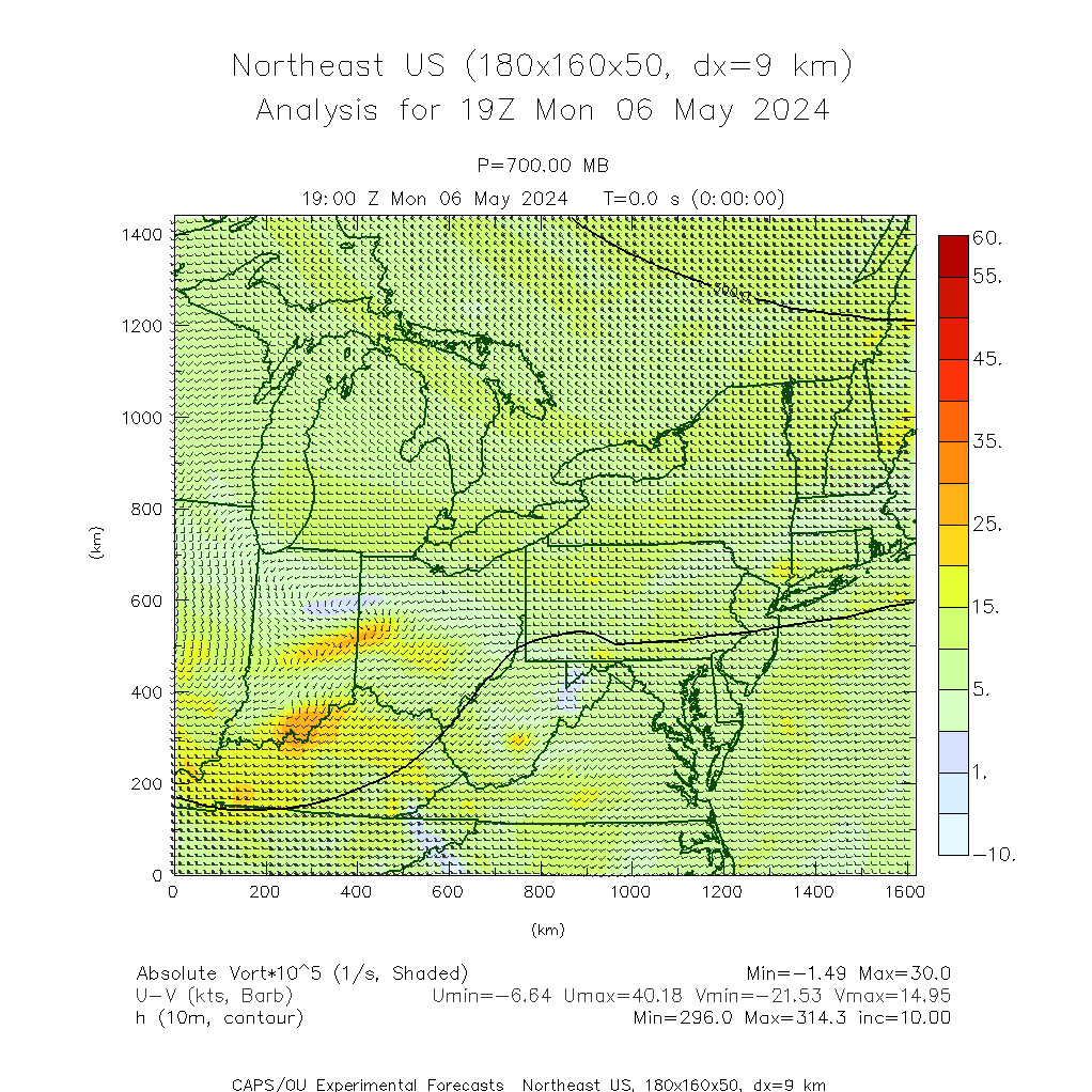
11am: Just a quick update on the storm. Most areas have now changed to some sort of wintry weather as cold air continues to crash into the area behind the front. There has been a brief lull that has developed across southwestern VA and moved into parts of the Shenandoah Valley and Central Virginia. Further west, the upper level energy is beginning to enhance rates as it moves into the area. Below is vorticity at 700mb showing this.
Here's what it looks like on radar showing our pieces. Often times these pieces upper level energy produce areas of moderate to heavy snow. It's tough to predict exactly how they will behave but I like what I'm seeing on radar. Expect an additional coating to two inches for most areas.
I'll have another update this afternoon.

Final Call from Sunday:

No comments:
Post a Comment