 |
| Mount Jackson, VA after 2011 Halloween Nor'Easter. Photo Credit: Stacey Morgan Smith (http://www.shenandoahvalleyflowers.com/) |
 |
| Surface Map Saturday (10/29). Image via the HPC |
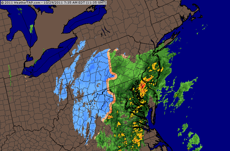 |
| Saturday (10/29) Morning Radar. via WeatherTap |
Light rain showers broke out Friday evening after daytime highs climbed into the mid-40s. As the storm got going Friday night and we lost daytime heating, portions of northwestern Virginia started mixing with and eventually changing over to heavy, wet snow as lows dropped into the upper 20s/low 30s. The National Weather Service was all over this one having already issued Winter Storm Watches for the area early Friday morning. Snow lingered into the early morning hours before coming to an abrupt stop as the low quickly departed up the coast.
 |
| Winter Storm Watch Issued Friday AM |
Snow totals were quite impressive for many areas up and down the east coast. Heavy, wet snow on top of trees yet to lose their leaves led to over 3 million total power outages. The highest snowfall total was reported in western Massachusetts in the town of Peru where 32" fell. Here in the Shenandoah Valley, amounts varied based on location and elevation. Here are some area numbers....
Dale Enterprise (Harrisonburg): 5.0"
Front Royal: 4.0"
Luray: 4.0"
Winchester: 3.0"
Churchville: 4.0"
Big Meadows (Madison County): 8.0"
Staunton: 0.8"
Charlottesville: 0.1"
Snowshoe, WV: 12.0"
Mount Storm (Grant County WV): 14.0"
Dulles International: 0.5"
 |
| 2011 Halloween Nor'Easter Totals. Image via NWS |
 |
| Satellite Image Post-Storm Showing Snow Cover Virginia to Maine via NOAA |
No comments:
Post a Comment